Traveling the Pine Tree Trail

Tourism in Maine has been big business for a long time. Efforts were made early on to entice tourists to come to Maine and spend money in the Pine Tree state. Recently a rusted old sign was discovered which revealed one such effort. Back in 1937, a route through Maine was highlighted that would guide tourists from one end of the state to the other. This was a transect of Maine from south to north (or the reverse). The goal was to highlight the merits of our beautiful state.
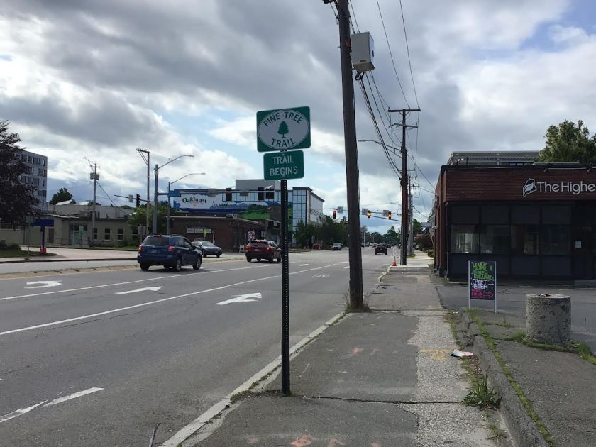
Surprisingly, the route spent little time along the Maine coast. Originally, the trail began in Kittery and led by virtue of signposts all the way to Fort Kent. Since the trail has been revived (complete with new signs), it now begins in Portland. Mind you that the route precedes the Maine Turnpike and I-95.

The route begins on Forest Avenue. It then follows Route 100 through Auburn and Lewiston to Augusta. You go around the rotary there and head north to Belgrade on Routes 11 & 27. Stay the course on Route 11 through Oakland and Waterville and then back to Route 100 to Pittsfield and Carmel. From that point you are directed to Bangor on Route 2.
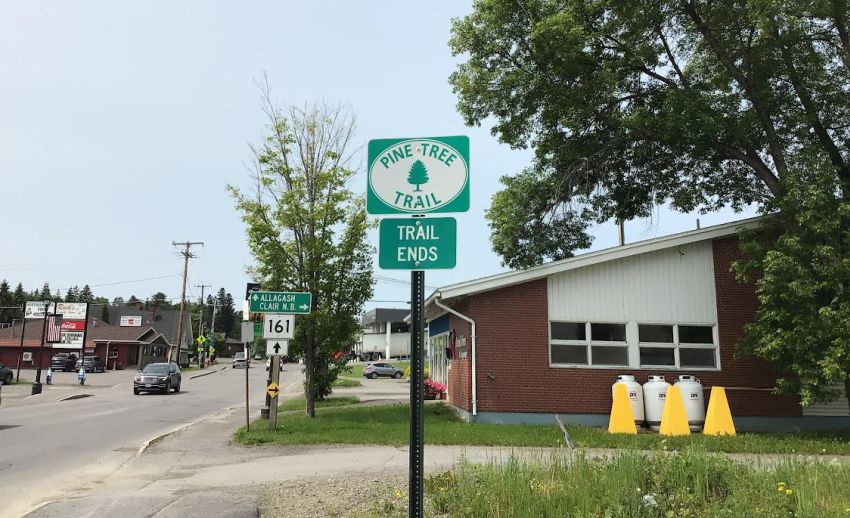
The trail continues north to Macwahoc, at which point you have a choice, left on Route 2 to Island Falls and thence to Houlton or straight ahead on Route 2 a.m. through the famous Haynesville woods to Houlton. From Houlton, drive north on Route 1 until you reach Mars Hill. Then you have another choice, Route 1 to Presque Isle and thence to Van Buren or Route 1 a.m. to Fort Fairfield and Van Buren. From then on, it’s Route 1 to Fort Kent!
Trail notes:
Sarah and I drove to Kittery to start. Big mistake! The southern parts of coastal Route 1 is a place to avoid. The traffic is very frustrating.
We planned the trip after Googling it. Our plan was to take four days, stop often, take pictures and talk to people. Many knew nothing about the Trail, despite the signs everywhere.

We planned on staying at local hotels or motels and taking our meals at locally owned restaurants. The best restaurant? Al’s Diner in Mars Hill. The best Inn? The Whitetail Inn in Lincoln.
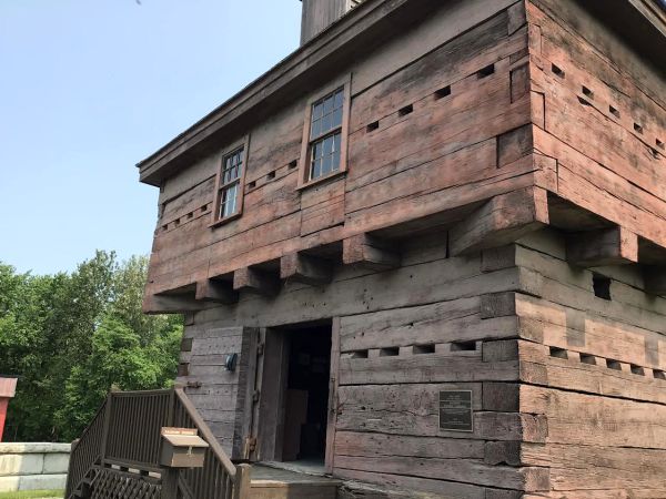
We couldn’t pick a town or location that we liked best. There were so many; the whole St. John Valley is beautiful. The forests of southern Aroostook, the view of Katahdin from Golden Ridge, the fields of potatoes and broccoli and finally the blockhouse at Fort Kent.
We posted snapshots each night and posted some on the Pine Tree Trail on the Facebook page. We were told we were the first ones to document to entire trail, which surprised us until we spoke to people who had not idea. The signs are everywhere facing both north and south bound. Get out there and watch for them!
Sarah and Gene Roy both recently retired after many years of service at the Oakland Public Library, she as head librarian and he as children’s librarian. For more information about the Pine Tree Trail, go to www.pinetreetrail.com.
Download Full Newspaper: High Res | Low Res (Details…)
<— Previous Article • Summaries • Next Article —>
©2023 by Summertime in the Belgrades. All rights reserved.